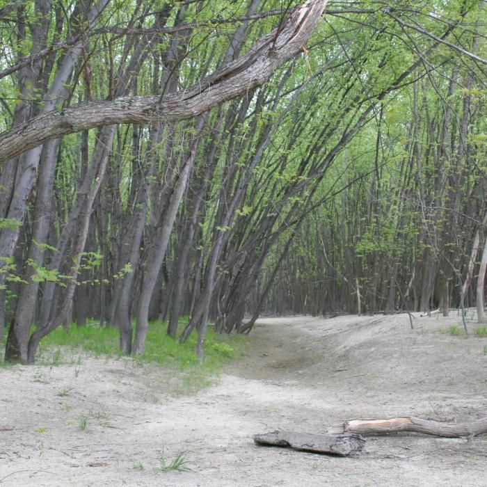
This is an interactive experience for the Merrimack River Outdoor Education and Conservation Area (MROECA), known as the floodplain, along the Les Clark Nature Trail. Eighteen points along the trail interpret features of interest as you hike the 1.5 mile loop. This experience was developed by the 2017 Advanced Studies Program students at St. Paul's School in Concord. The dramatic floodplain landscape includes oxbows, back channels, and high terraces that host a dynamic collection of overlapping natural communities. A walk down the Les Clark Nature Trail will take you past a pine forest planted in the 1960s, a wooded swamp and beaver-influenced wetlands, a maple-oak-hickory terrace community, and a native silver maple floodplain forest.
Click on the link below (under "Related") to reach this interpretive Outing. Then click "Map" at the top of the Outing page, or click on the map with numbered points.
