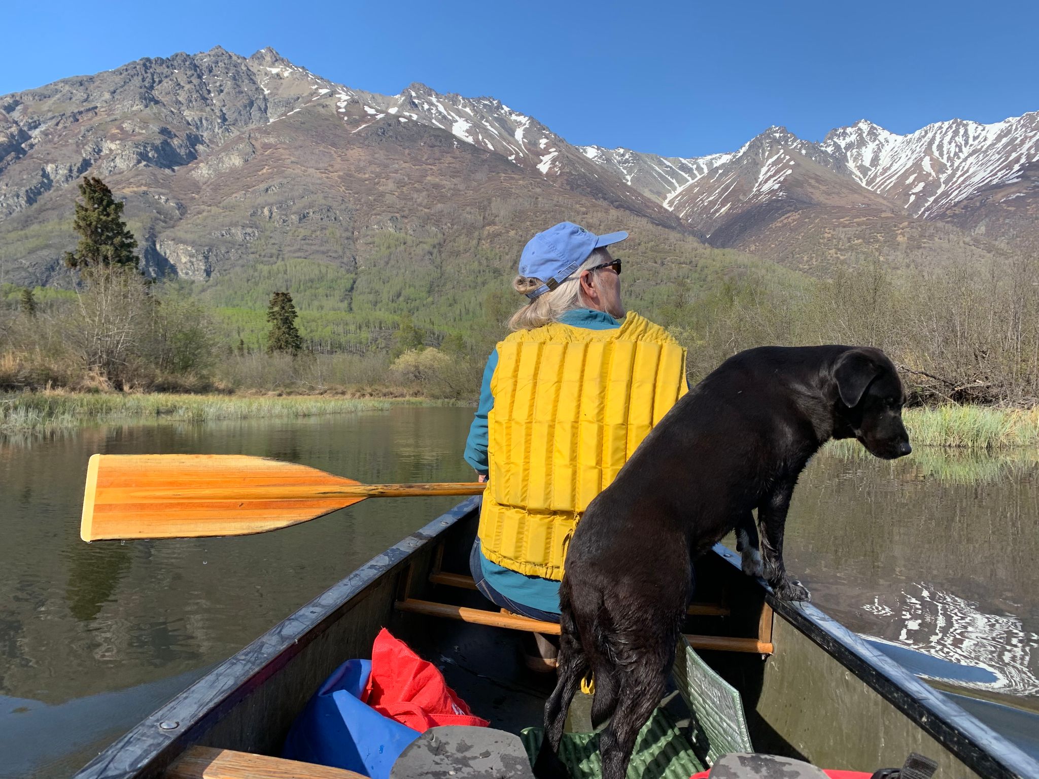
This delightful paddle traverses scenic waterways through the heart of Wasilla. One can begin at Finger Lake State Recreation Site, goes through Cottonwood lake, Cottonwood Creek, Upper Wasilla Lake, and Wasilla Lake itself, near the Parks Highway. This route is absolutely beautiful and centrally located.
Directions: From Palmer take E Bogard Road toward Wasilla. After 5 miles, turn left at Finger Lake State Recreation Site. . Google Map Directions.
Parking: Alaska State Parks annual or day parking pass required.
The Lynx Lake Loop canoe trail travels through an eight-mile chain of lakes. Portages are well-marked with orange, diamond-shaped signs marked with a "P". Wet sections are covered with boardwalk. Beginning at the Tanaina Lake Canoe Trailhead at Mile 4.5 of the park road, the Lynx Lake Loop is an ideal weekend trip, although it can be paddled in a full day. A longer trip can be made by continuing south from Lynx Lake to Butterfly and Skeetna lakes before returning on the same route to rejoin the loop.
Alaska State Parks campsites and cabins are available for reservation along the canoe loop.
Canoes are available for rent from Tippecanoe Rentals in Willow. Call to have one waiting for you at the trailhead on Tanaina Lake (907-355-6687).
Directions: Nancy Lake State Recreation Area is a ninety minute drive north of Anchorage along the Parks Highway. To enter the recreation area, turn west onto Nancy Lake Parkway at Mile 67.3 of the Parks Highway. Google Map Directions
Parking: Alaska State Parks annual or day parking pass required.
http://dnr.alaska.gov/parks/aspunits/matsu/canoetrail.htm
This delightful paddle starts at Jim Lake, continues through McRoberts Creek to Jim Creek, and ends at the Knik River! Committed paddlers can do the 6-mile route in a day, but there are many options for shorter paddles in the nearby Jim and Mud lakes.
Directions: From downtown Palmer turn right onto E. Arctic Ave. Drive 3.6 miles and turn left onto E. Maud Rd., drive 4-miles to the end of E Maud Rd.. Google Map Directions
Parking: Alaska State Parks annual or day parking pass required.
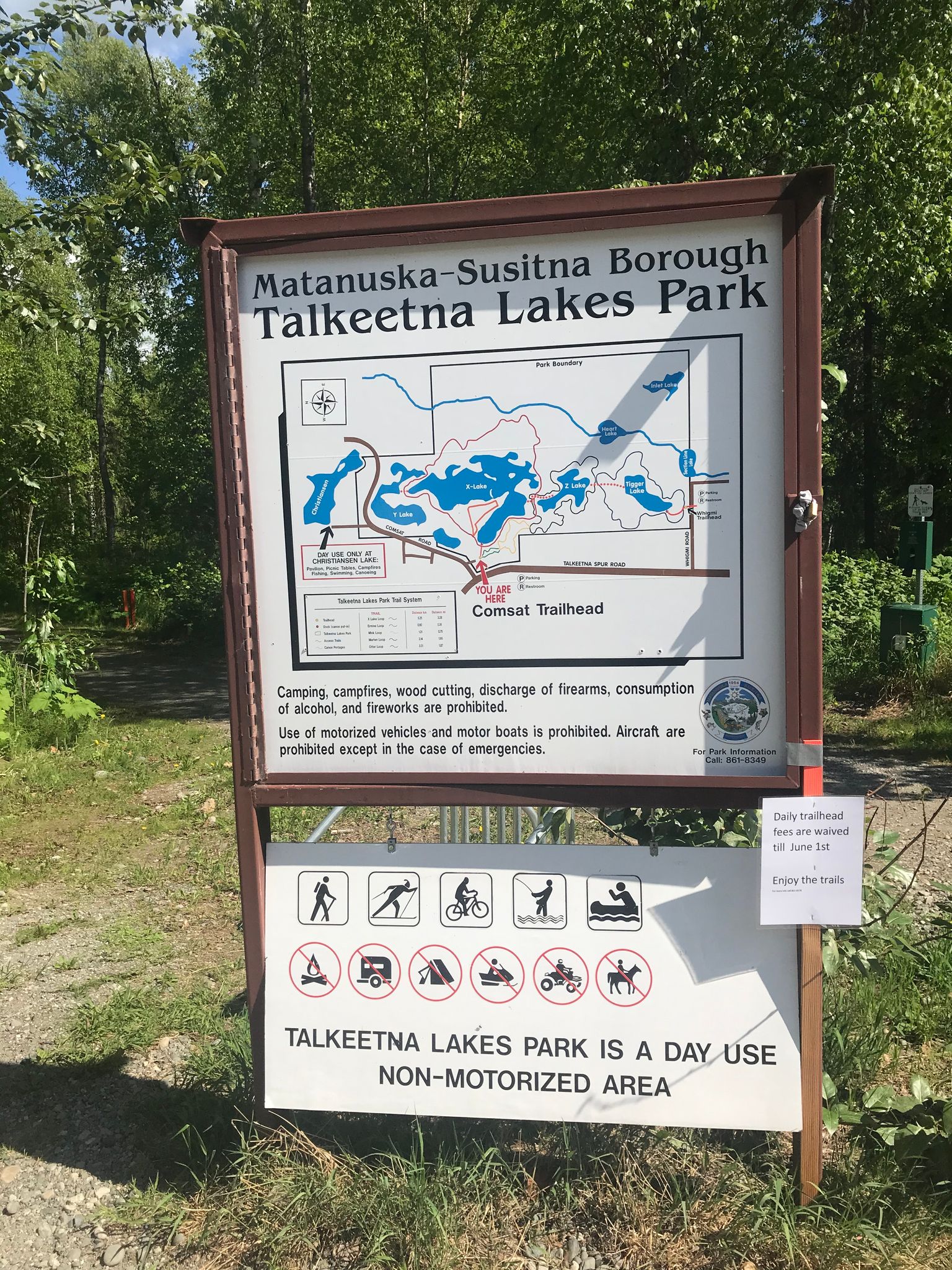
Located two miles south of Talkeetna, this 1,040-acre park surrounds six lakes. Over the past 15 years, Talkeetna Lakes Park has developed to include over a dozen miles of well-maintained walking and biking trails, as well as a canoe portage route.
The trails are groomed in Winter for cross-country skiing and snowshoeing, and connect to other ski trails in the Talkeetna area.
Access is via the Comsat and Whigmi Trailheads.
Directions: From the Glenn Highway Interchange, stay on the Parks Highway for about 63 miles. Turn right onto the Talkeetna Spur Rd. To get to the Comsat Trailhead drive 12 miles down the spur road and turn right onto Comsat Road. Trailhead will be on your right Google Map Directions for Comsat Trailhead. Google Map Directions for Whigmi Trailhead.
Parking: This is a Mat-Su Borough Trailhead and requires a $5 single use day pass, or an annual parking pass.
https://www.matsugov.us/news/talkeetna-lakes-park-our-newest-park


