Government Peak Recreation Area
Government Peak Recreation Area offers hiking, walking, mountain biking, as well as some of the Borough's finest groomed Nordic skiing trails, all beginning at the Government Peak Chalet, which has restroom and water-fountains when open. There is also an outdoor outhouse.
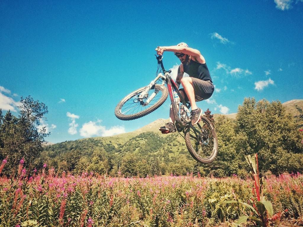
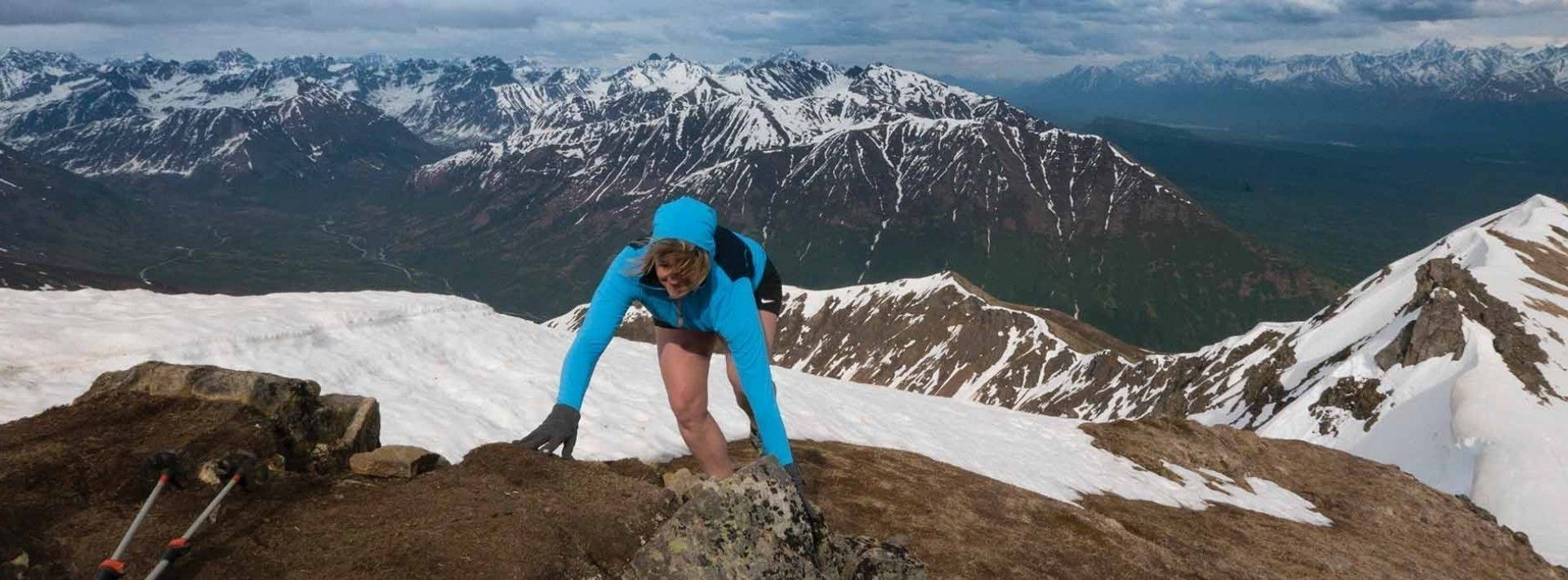
Two hiking trails venture onto Government Peak itself - the strenuous Government Peak Race Trail and the gentler Blueberry Knoll Trail. The five mile Backcountry Horseman Trail and the Carle Wagon trail allow both equines and hiking. Mountain bikers will enjoy 4+ miles of single-track biking on the Fireweed and Fiddlehead trails. These single track biking trails are groomed for winter fat-biking by from Mat Valley Bikers and Hikers. (https://vmbah.wildapricot.org)
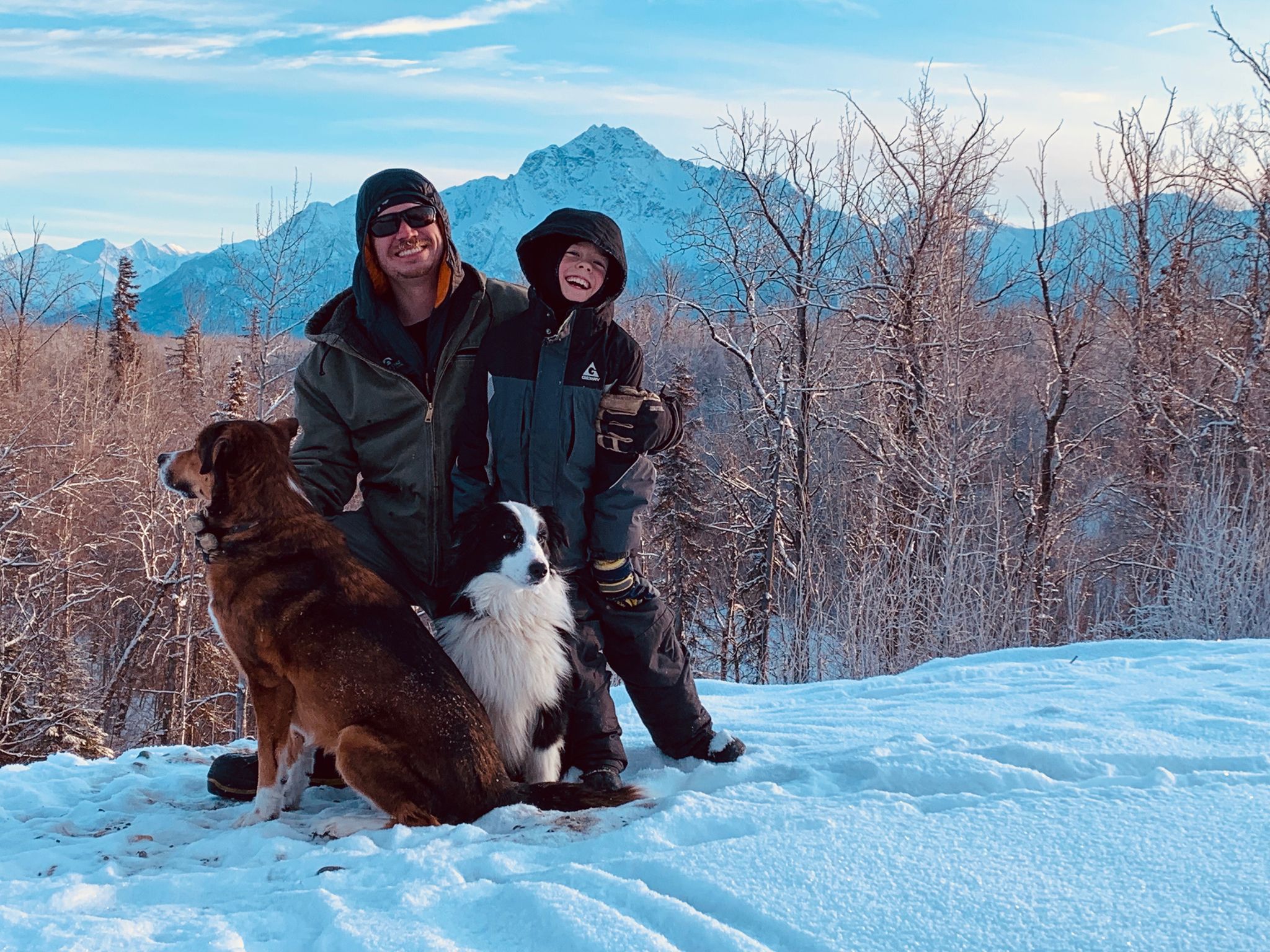
The area offers 9 miles of wide, looping trails through the boreal forest. In summer, these are grassy paths perfect for walking and running. In winter, trails are groomed for Nordic skiing by the Mat Su Ski Club and about half are lighted for night time use. All but one of the groomed ski trails are reserved for skiing only during winter months. The 1.32 mile Pioneer Loop allows walking, dogs, skijoring, fat bike riding, and snowshoeing during winter. Snow conditions are variable, please check https://www.matsuski.org/grooming for information on trail closures.
Directions: From Palmer take the Palmer-Fishhook Road toward Hatcher Pass. At mile 7, turn left onto Edgerton Parks Road. Drive one mile. Take a right on Mountain Trails Drive, the parking area and main trailhead is past the gate. Google Map Directions.
Gate: The gate at the bottom of Mountain Trails Drive opens at 8 am and closes at 10 pm.
Parking:This is a Mat-Su Borough Trailhead and requires a $5 single use day pass, or an annual parking pass.
https://www.matsugov.us/trails/gpra-summer
Settlers Bay Coastal Park is the newest park in the Matanuska Susitna Borough. It is 295 acres of rolling up lands and coastal plain, with most of it being designated as a non-motorized conservation area. This park is a work in progress with new trails and amenities being added over the next few years.
The trails at Settlers Bay Coastal Park are part of 295 acres of land that was donated to the Mat Su Borough by the Greatland Trust as a conservation easement. The first formal trails started to be built in summer 2019 with more trails being added over the next few years. The long-term plan calls for easy gravel paths, mountain bike single track, and Americans with Disabilities Act-compliant trails. All attempts will be made to groom these trails during the winter as snow conditions allow.
https://www.matsugov.us/trails/settler-s-bay-coastal-trails
The Matanuska Greenbelt encompasses some outstanding glacial landforms on lands squeezed between the Palmer-Wasilla Highway, Glenn Highway, Parks Highway, and Trunk road on lands owned by Matanuska-Susitna Borough (Crevasse-Moraine Trails = MSB CMT), UAA Matanuska-Susitna College, UAF Matanuska Experiment Farm, and State of Alaska (Matanuska Lakes State Recreation Area = MLSRA). The area is known for its challenging trails as well as agriculture and history.
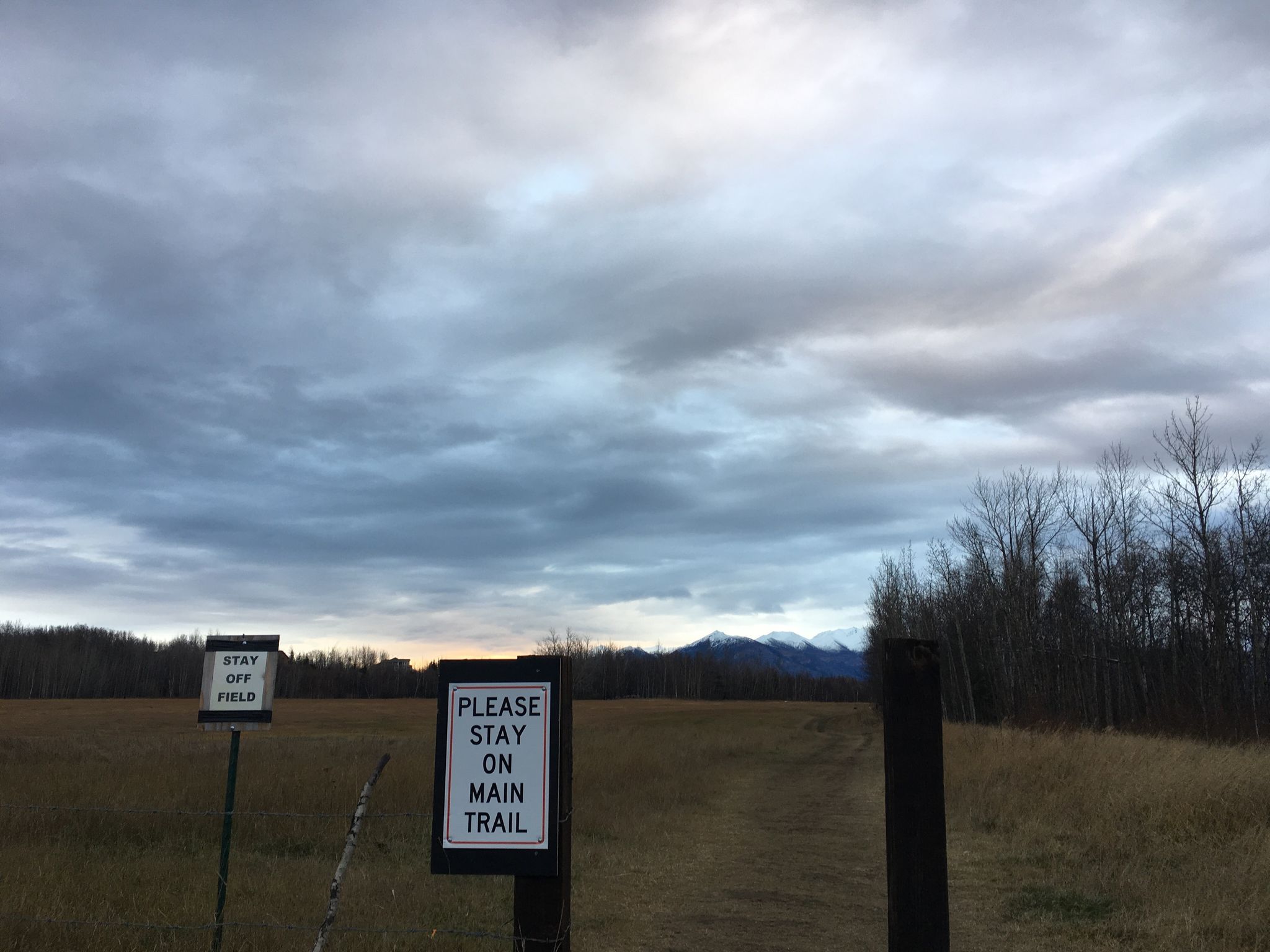
The complete area is non-motorized although there may be authorized vehicles (tractors) working the farm lands. Individual properties may have rules specific to them and not other areas of the Greenbelt. Please respect the desires of individual landowners for the privilege of using these lands so that we may continue using these trails.
Trailheads: Matanuska Lakes State Recreation Area, Crevasse Moraine trailhead, and Kin-Win trailhead.
Parking: Matanuska State Recreation Area and Crevasse Moraine trailhead require day or annual parking passes.
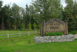
Close to Palmer, this park contains an excellent campground, playground, pavilions, and provides access to the Matanuska Branch RR Palmer-Mouse Creek Rail Trail.
The park contains 86 spaces for tents or RVs (including 20 caravan sites), a central comfort station featuring flush toilets and hot showers, an RV dump station, picnic tables, grills, four park pavilions, playground equipment, a horseshoe pit, a sand volleyball court, trails, river access, an observation deck, parking areas, a campfire area, firewood, and a group camping area.
Please note that the park is closed seasonally. During winter, trails can be accessed by parking outside the gate and walking in.
https://www.matsugov.us/parks/matanuska-river-park-campground
16 Mile
This point-to-point downhill trail is an epic descent through beautiful sub-alpine tundra into denser brush below.
Perched on a ridge above Fishhook Creek, the trail switchbacks down over 800 feet of elevation in just under 2 miles. This trail is most often done as a "shuttle-run" whereby bikers or snowboarders are dropped off at the upper parking lot and picked up down below, but hearty souls can also bike or hike the approximately 5 miles of road between the two lots for a well-earned trip down.
For more information on 16 mile, click here.
Directions: Glenn Highway Milepost 49.5, north on Palmer-Fishhook Road to Hatcher Pass (also called Hatcher Pass Road in the Hatcher Pass Management Area) 13.7 miles on the right; or George Parks Highway Milepost 36.1, north on Trunk Road to Palmer-Fishhook Road, turn left (north) to Hatcher Pass (also called Hatcher Pass Road in the Hatcher Pass Management Area) 13.7 miles on the right. Google Map Directions
