This Outing follows the height of land from Ashmont to St Paul showing a bit about the regional history, particularly the triangle junction at Abilene, which was an important junction for the railway and for the Iron Horse Trail.
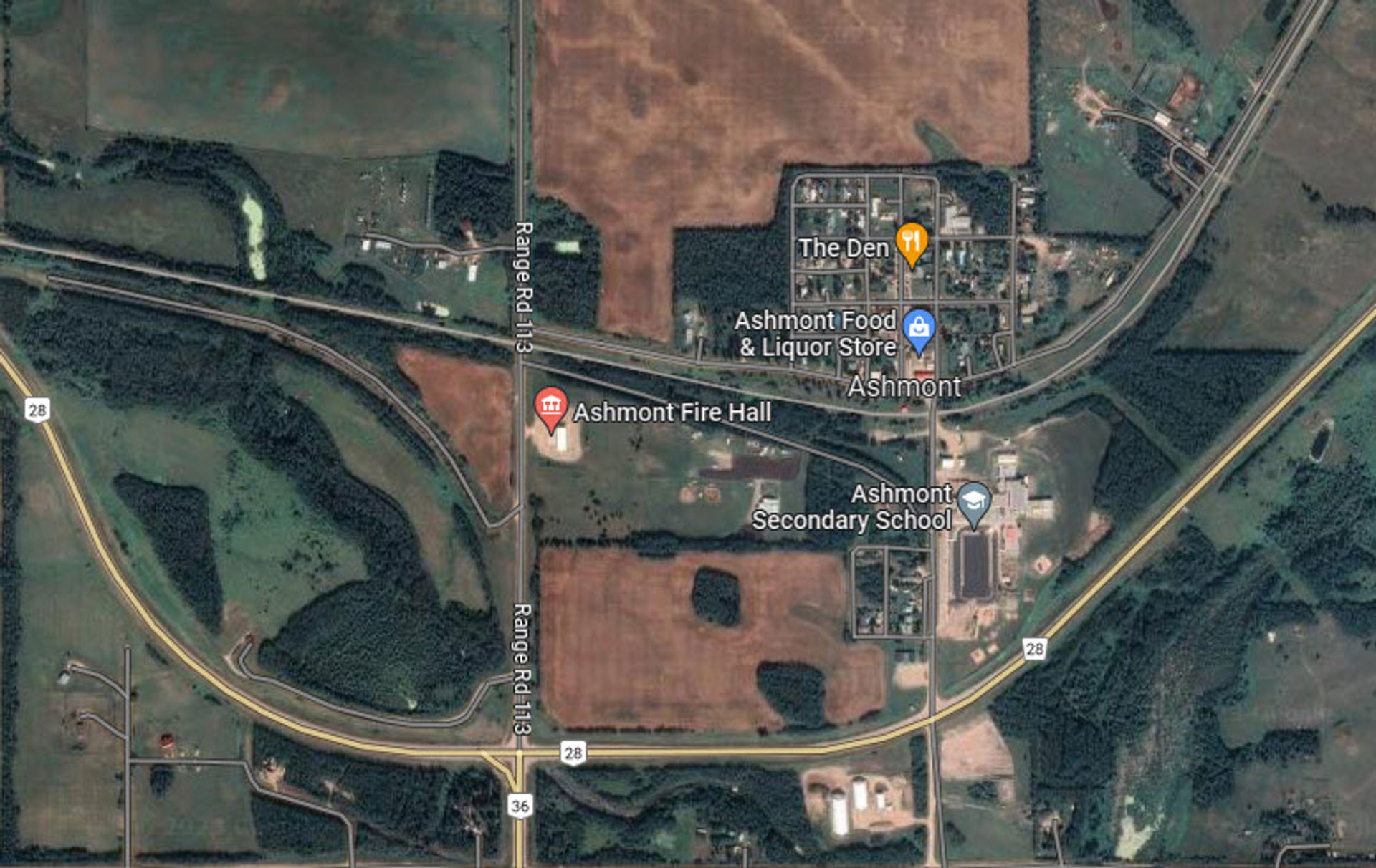
![Ashmont Map](https://imagekit.outerspatial.com/50329/image.jpg?tr=pr-true,w-1920,di-placeholder-square.jpg)
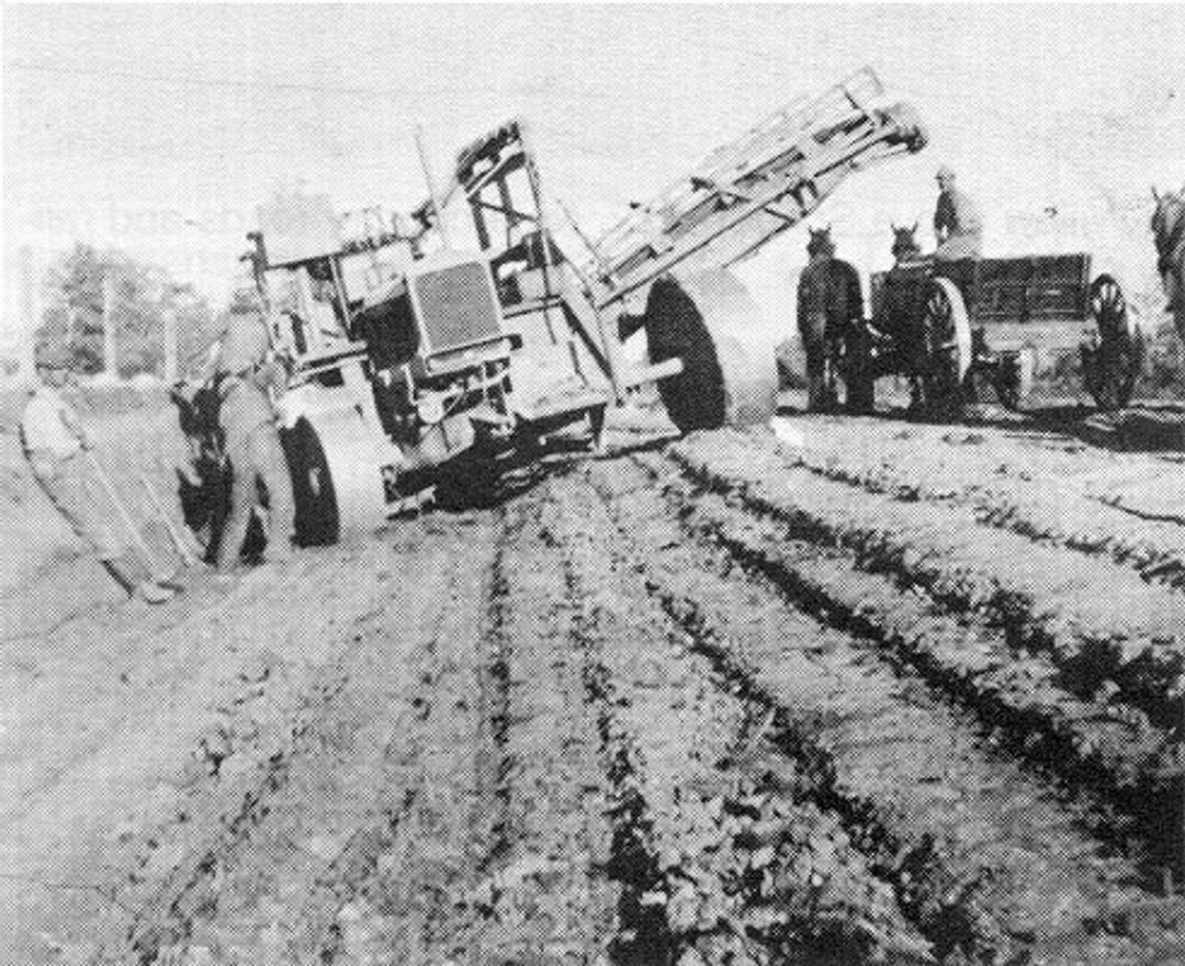
![Building Highway 28 in 1939](https://imagekit.outerspatial.com/50294/image.jpg?tr=pr-true,w-1080,di-placeholder-square.jpg)
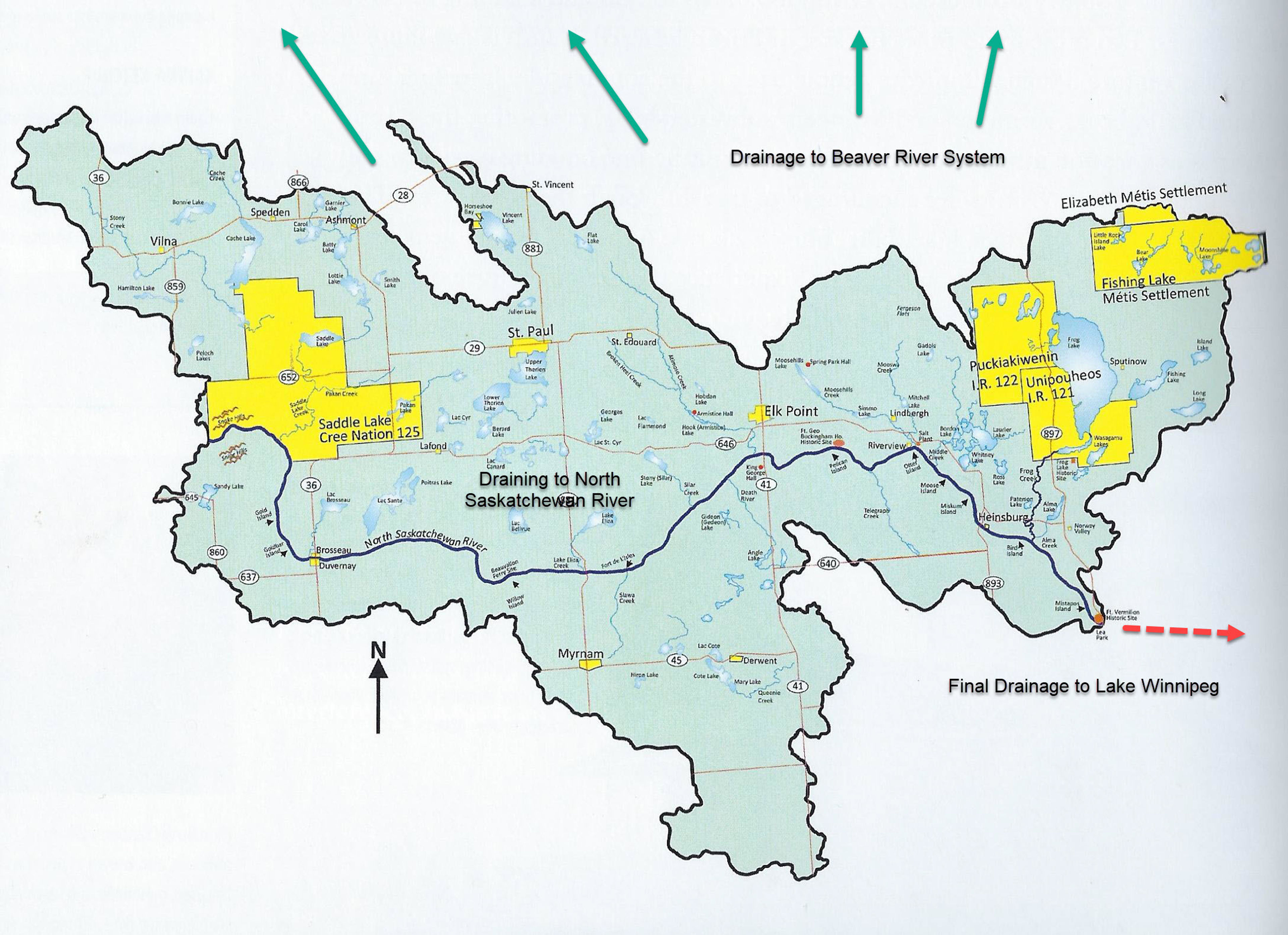
![Mann Lake Area which drains to the Beaver River](https://imagekit.outerspatial.com/50330/image.jpg?tr=pr-true,w-1920,di-placeholder-square.jpg)
![image.jpg](https://imagekit.outerspatial.com/50314/image.jpg?tr=pr-true,w-3840,di-placeholder-square.jpg)
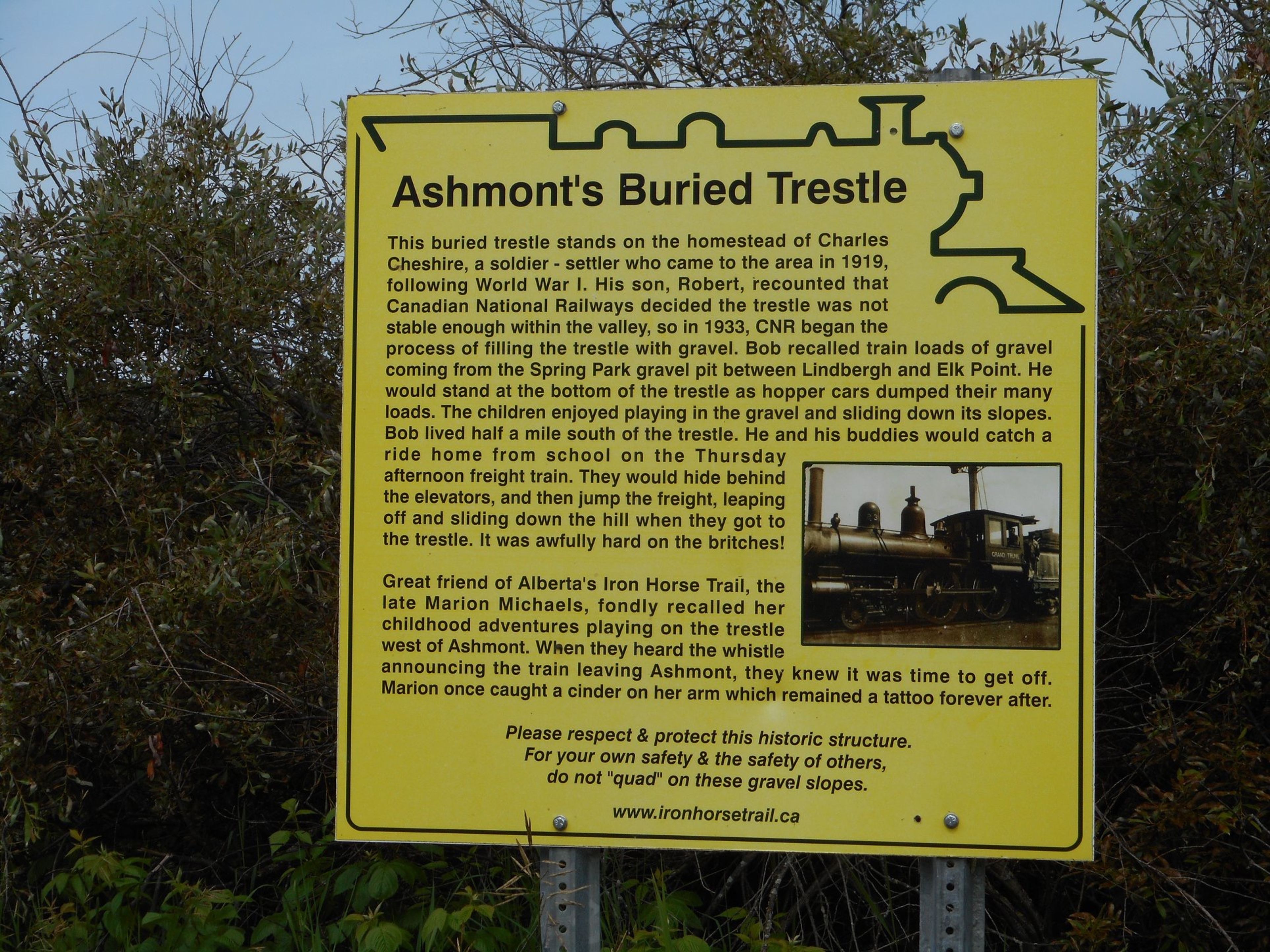
![Ashmont's Buried Trestle](https://imagekit.outerspatial.com/50312/image.jpeg?tr=pr-true,w-3840,di-placeholder-square.jpg)
![Abilene showing all branches of CN rail in 1950s](https://imagekit.outerspatial.com/50311/image.jpg?tr=pr-true,w-1920,di-placeholder-square.jpg)
![CN Building at Abilene 1919](https://imagekit.outerspatial.com/50332/image.jpg?tr=pr-true,w-256,di-placeholder-square.jpg)
![Placing Boiler on pad in 2019](https://imagekit.outerspatial.com/50317/image.jpg?tr=pr-true,w-1920,di-placeholder-square.jpg)
![Crowd at the official openning of the Iron Horse Trail at Abilene June 8, 2003](https://imagekit.outerspatial.com/50318/image.jpg?tr=pr-true,w-3840,di-placeholder-square.jpg)
![Many Post Offices of Abilene 1908 to 1956](https://imagekit.outerspatial.com/50319/image.jpg?tr=pr-true,w-1080,di-placeholder-square.jpg)
![Waiting for the Train at Owlseye Station](https://imagekit.outerspatial.com/50323/image.jpg?tr=pr-true,w-1920,di-placeholder-square.jpg)
![First Train to come to Owlseye Station](https://imagekit.outerspatial.com/50324/image.jpg?tr=pr-true,w-1920,di-placeholder-square.jpg)
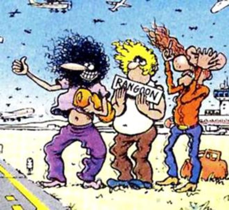
![The Furry Freak Brothers in the 1960s](https://imagekit.outerspatial.com/50321/image.jpg?tr=pr-true,w-750,di-placeholder-square.jpg)
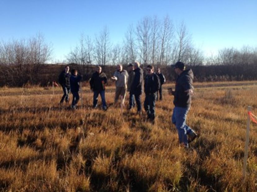
![NE Municorr board examining proposed changes in Owlseye 2016](https://imagekit.outerspatial.com/50322/image.jpg?tr=pr-true,w-828,di-placeholder-square.jpg)
![Volunteer completing the rail line into St Paul 1920](https://imagekit.outerspatial.com/50326/image.jpg?tr=pr-true,w-3840,di-placeholder-square.jpg)
![Trails in St Paul area prior to 1884](https://imagekit.outerspatial.com/50333/image.jpg?tr=pr-true,w-1920,di-placeholder-square.jpg)
![Map showing Carlton Trail from Saddle Lake to Elk Point](https://imagekit.outerspatial.com/50313/image.jpg?tr=pr-true,w-3840,di-placeholder-square.jpg)
![Flying Saucer landing Pad today](https://imagekit.outerspatial.com/50315/image.jpg?tr=pr-true,w-3840,di-placeholder-square.jpg)
![image.jpg](https://imagekit.outerspatial.com/50334/image.jpg?tr=pr-true,w-3840,di-placeholder-square.jpg)
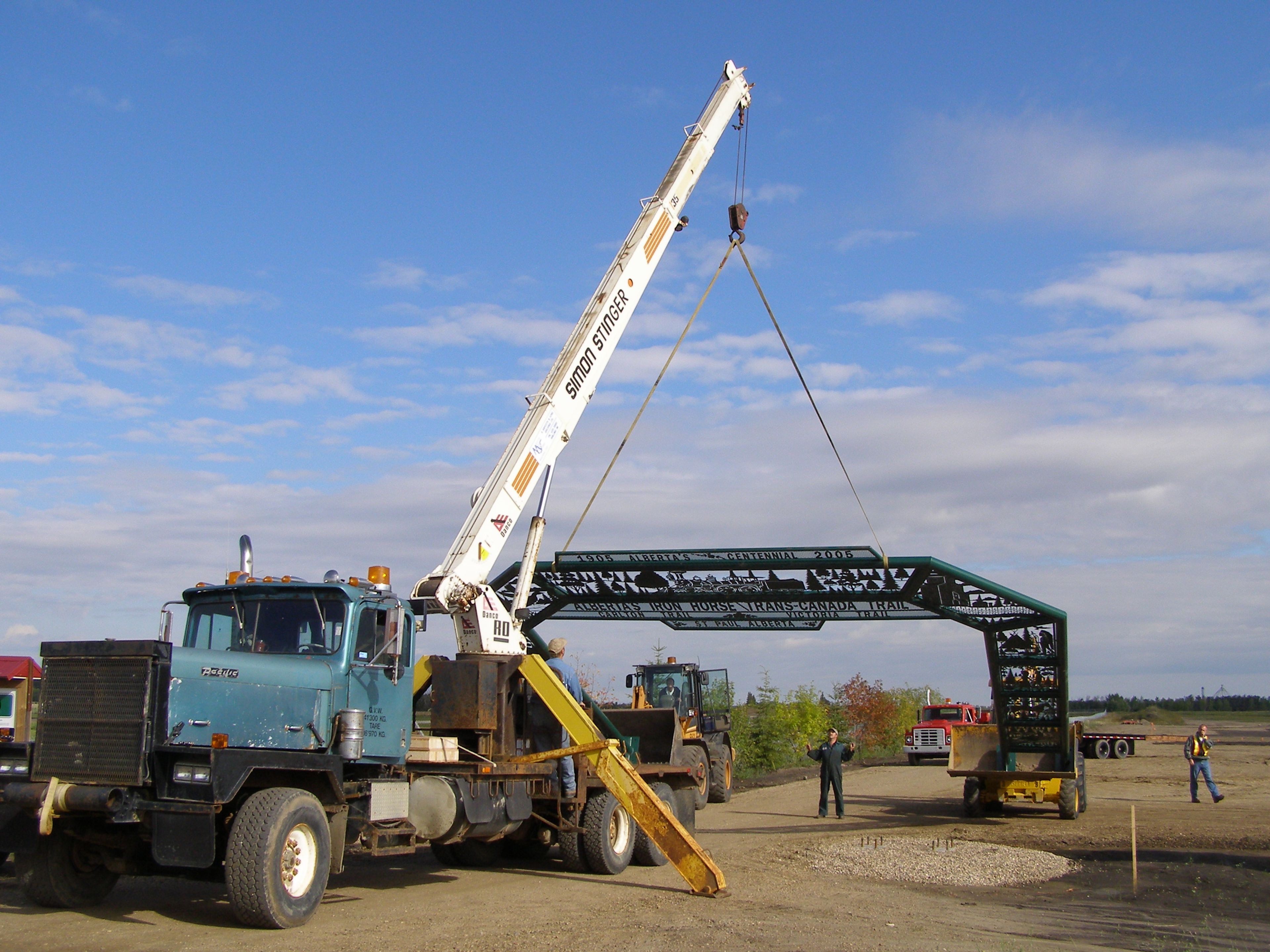
![Lifting the gate to the St Paul Staging Area in 2007](https://imagekit.outerspatial.com/50325/image.JPG?tr=pr-true,w-3840,di-placeholder-square.jpg)
![image.jpg](https://imagekit.outerspatial.com/tr:n-extra_large_square/24189/image.jpg)
Ashmont to St Paul History Outing
Outing
0 Reviews
Share
Favorite
Social
Stewardships
- Owned byAlberta's Iron Horse Trail