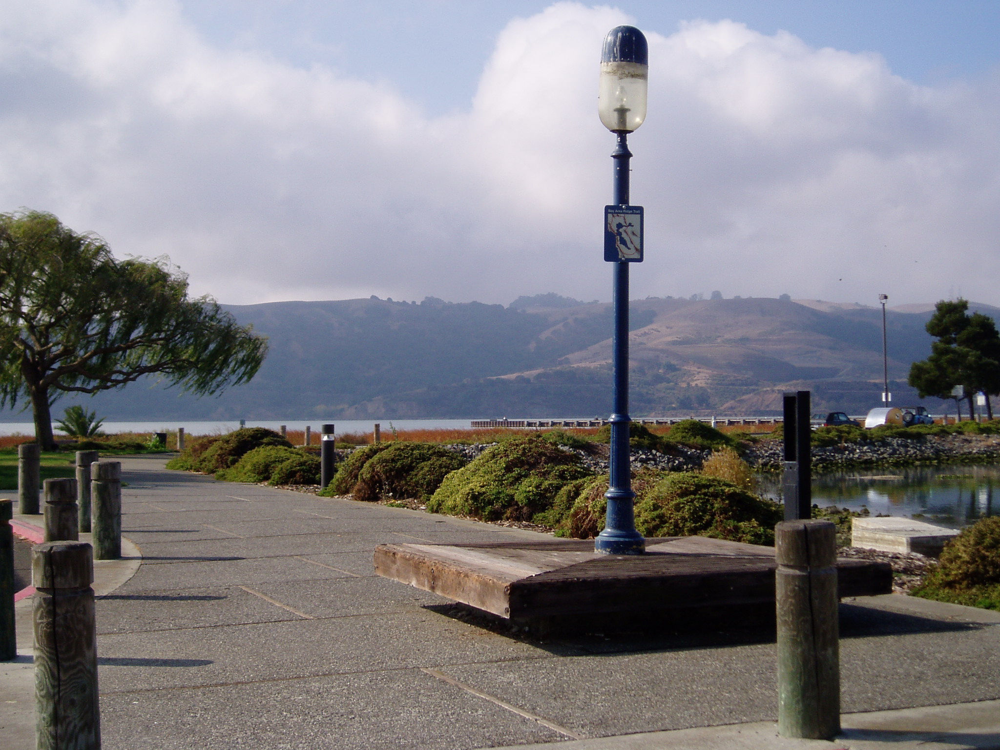
This is where the Bay Area Ridge Trail splits and heads toward either the Carquinez Bridge or the Benicia-Martinez Bridge on the Carquinez Strait Scenic Loop Trail. Take a trip through Mexican and early California history on these routes, which follow the waterfront through the thriving towns of Vallejo and Benicia. Enjoy brisk breezes and occasional fog as you watch the San Joaquin and Sacramento Rivers funnel into San Francisco Bay. This route travels mostly level trails, including sidewalks, paved and unpaved trails, and footpaths.
- Accessibility: Hikers, equestrians, and mountain bikers (hikers only on Carquinez Overlook Trail).
(This trail description is excerpted from the 2019 Guidebook. For details on all trails, trailheads, and more, buy the book from Wilderness Press. For more resources to plan your trip, visit our Trail Tools page.)