DRIVING DIRECTIONS
- From Highway 101, exit at Arata Lane in north Windsor.
- Drive east on Arata Lane for 1.3 miles to the park entrance on your left.
- Parking $7 or free for Regional Parks members.
TRAIL DIRECTIONS
- From the parking lot, enter the park and take a left onto Westside Trail. Head up an incline and follow the trail along the northern edge of the park.
- You’ll reach the junction with the Oakwood Trail at .44-mile. Follow Oakwood Trail to the left, paralleling a canyon.
- At 1.49 miles, you’ll reach the junction with the Alta Vista Trail. Follow the Alta Vista Trail to the left. (There is a split-rail fence near this junction.) This section is a sustained climb on uneven ground.
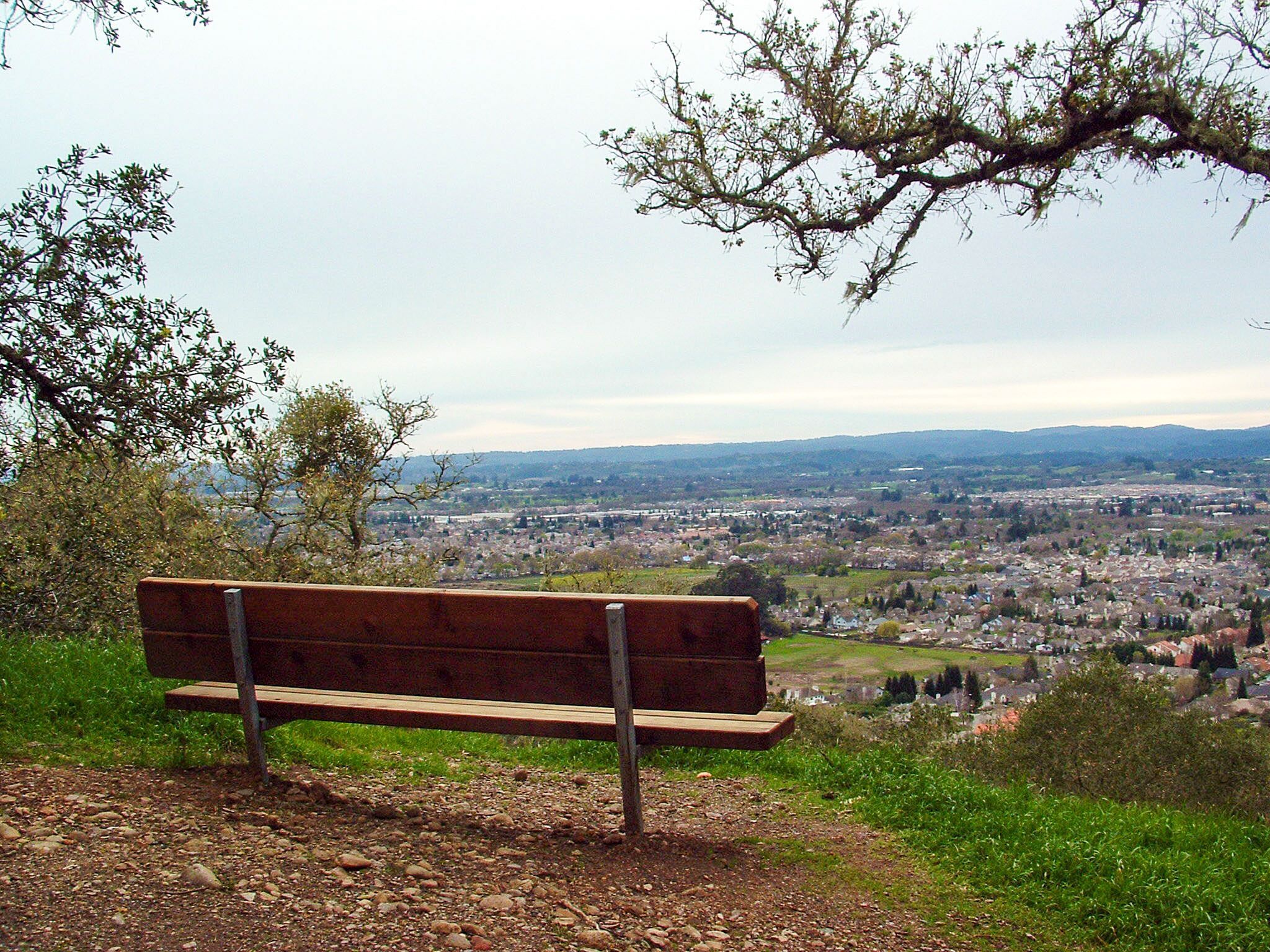
- After you’ve reached the highest point of Alta Vista Trail (660 feet), take a short break to admire the southeastern views. Then continue on Alta Vista Trail down into the park. The immediate descent is steep with switchbacks.
- At Pond C, you’ll continue straight on the Three Lakes Trail back to the parking lot.
Length: 3 miles / Difficulty: Moderate