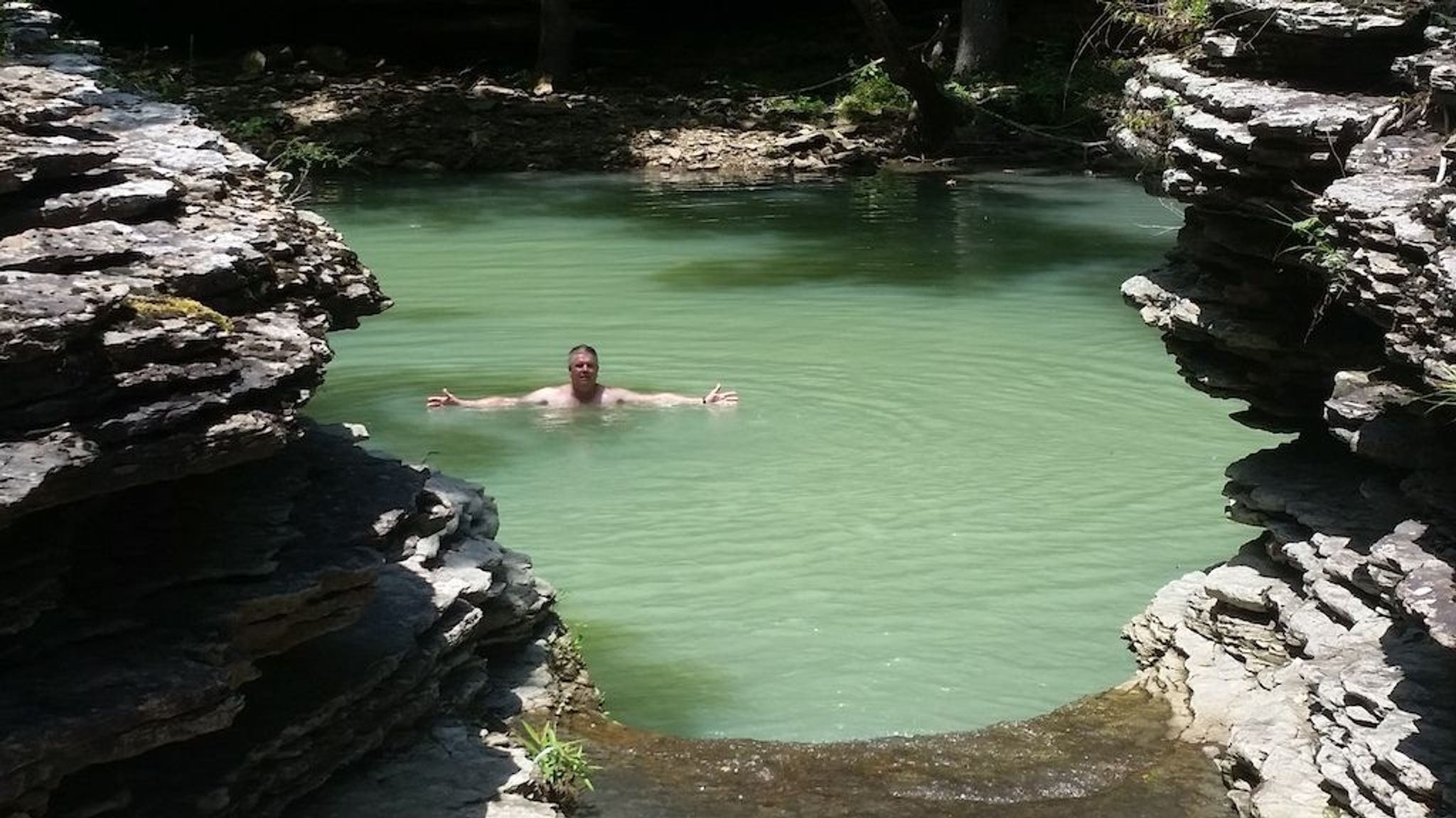
This hike will take you by one of the most beautiful pools of water in the Ozarks, then across the creek to Hobo Falls; the tallest waterfall on the OHT. Start at Gee Gap on Johnson County 5741/FR 1003, then hike West 1 mile, where you will find a feeder stream joining Cedar Creek to create a spectacular pool of water. Continue on another 2/10 of a mile and cross Cedar Creek. Here, you will find both Upper and Lower Hobo Falls by following another feeder creek just upstream. You may either return the way you came back to Gee Gap, or continue on 2.2 miles to the Rosetta Trailhead on Johnson County 5671/FR 1004.
Hobo Falls/Cedar Creek
Outing
0 Reviews
Claim
Share
Favorite
Social
Additional Information
Allowed Access
Pedestrians
Dogs
Activities
Backpacking
Birdwatching
Wildlife Watching
Hiking
Trail Running