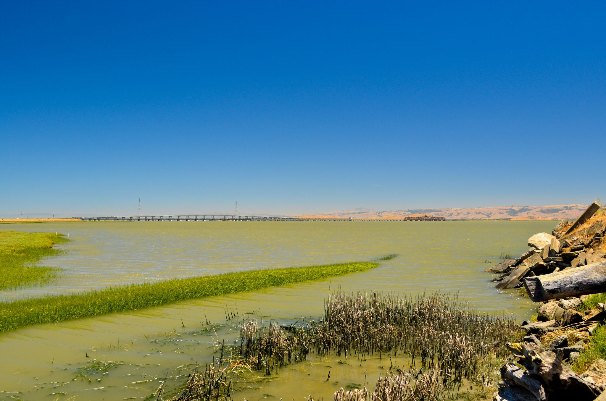
Mountain View (N. Shoreline or Stevens Creek to Bay Trail) to East Palo Alto (Cooley Landing)
Walking the Bay Trail Blog excerpt:
With the land of milk and honey behind me and getting smaller with every step, I found myself stepping back in time, four days to be exact. Beyond Charleston Slough, the San Francisco Bay and Highway 84 lay what, to the untrained eye, could be mistaken for a part of the Diablo range. However, to me it is still a vivid memory of a stunning example of the many unique, unexpected jewels that I have come across since May 31st.
Highway 84 looms in the distance and is my tease for the day – the ending point at which I will call it a day and seek out the closest bus stop to take me to CalTrain. Yet with every gaze at Highway 84, I see the ecosystem that is Coyote Hills just beyond the Dumbarton Bridge. They remind me why I am out here and help me refocus on the moment. Gone is any notion of skipping a side section of Bay Trail for the sake of time or my aching feet. If I do that I will surely miss another gem.
See the rest of the blog post here.
Transportation to start:
Option 1) San Francisco CalTrain to Mountain View Station, walk 2 Miles East on N. Shoreline to Charleston and turn in at Steven Creek Trailhead, head east to Bay Trail
Option 2) San Francisco CalTrain to San Antonio Station, walk to California and Showers and board the VTA 40 to Shoreline and Charleston then to Steven Creek Trailhead
Transportation home: From Cooley Landing, walk 1 mile west to catch the SamTrans 296 from University and Bay in East Palo Alto to Menlo Park CalTrain
