DRIVING DIRECTIONS
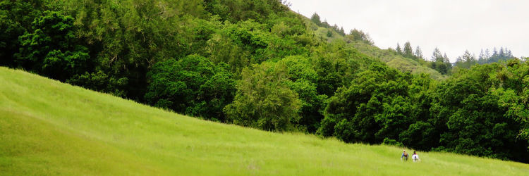
- From Highway 12, drive 2.3 miles up Adobe Canyon Road to a small gravel parking area on the left side of the road. This is the Goodspeed trailhead in Sugarloaf Ridge State Park. Begin your hike here.
TRAIL DIRECTIONS
Length: 7 miles / Difficulty: Strenuous
- After 2.1 miles, Goodspeed Trail crosses into Hood Mountain Regional Park and becomes Nattkemper Trail.
- Follow Nattkemper for another 1.2 miles and turn left for .2 miles to reach Gunsight Rock. The trail is surrounded by charred chaparral and trees from wildfires, but signs of regrowth are evident. Return the way you came.
