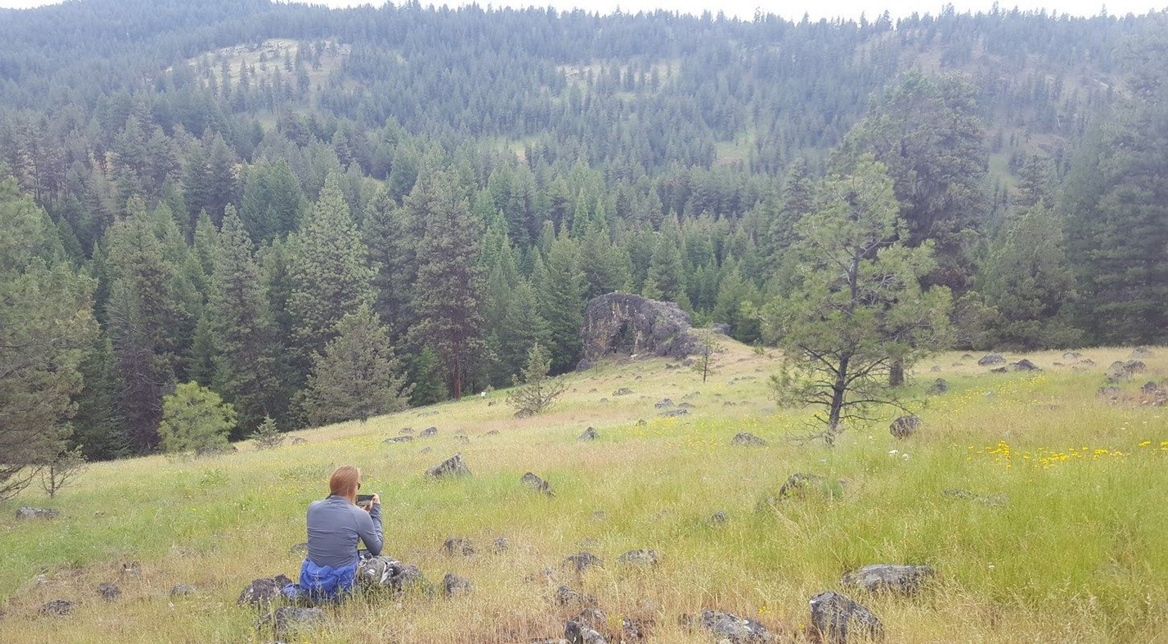
Very scenic, easy, short hike. Very photogenic trail with interesting rock formations. No toilet, Facilities available. Pack it in pack it out.


Arch Rock Trail
Point of Interest
Additional Information
Activities
National Recreation Trail Details
Length: 0.3 Miles
Loop Trail: No
Primary Trail Type: Backcountry
Additional Trail Types: -
Agency: USDA Forest Service
Entry Fee: -
Fee Notes: -
Parking Fee: -
Permit Fee: -
Trail Use Notes:
None
Seasonal Use Notes:
None
Location: In the Malheur NF, 25 mi. from Prairie City. Follow SR 26, Grant Co. Rd. 18, and FS Rds. 36 and 3650.
County: Grant
State: OR
Townships: -
Driving Directions:
From John Day, Drive East on Us. Highway 26, approximately 9 miles to county Road 18. Drive North on County Road 18, approximately 9 miles to 36 approximately 9 miles to Forest service Road(FSR) 3650. Drive East on FSR 3650 to trailhead.
Average Grade: -
Maximum Grade: -
Elevation High: -
Elevation Low: -
Elevation Gain: -
Average Width: 24 Inches
Minimum Width: -
Primary Surface: -
Additional Surfaces: -
Year Designated: 1981