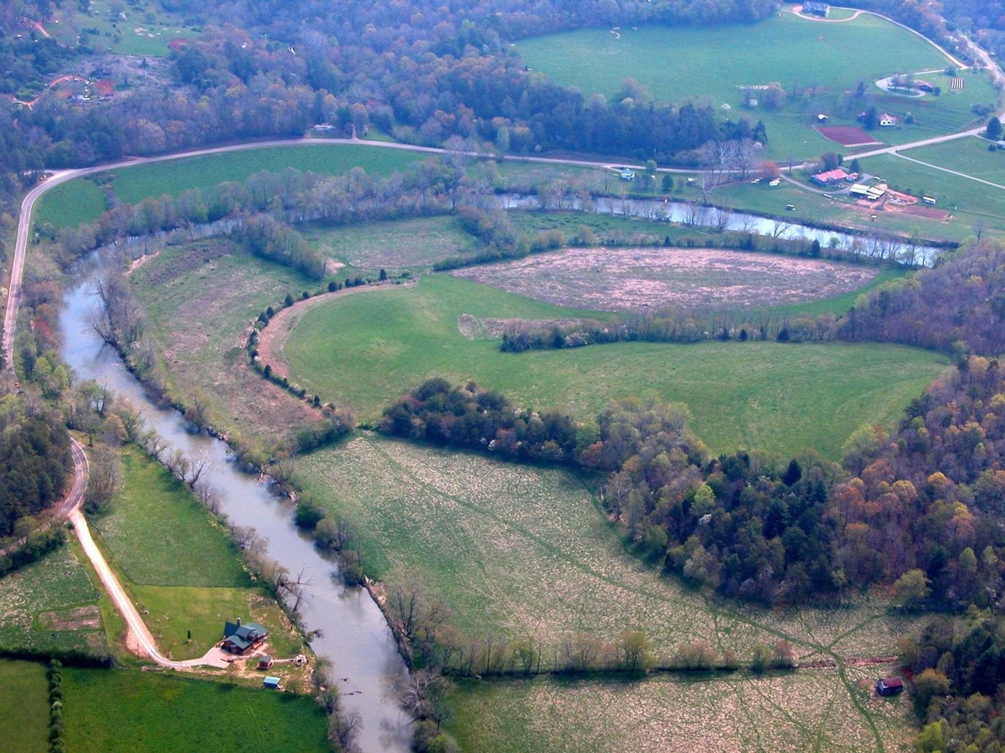
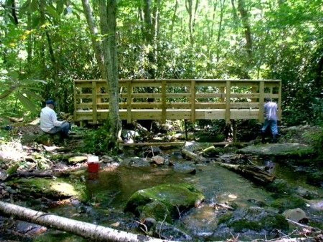
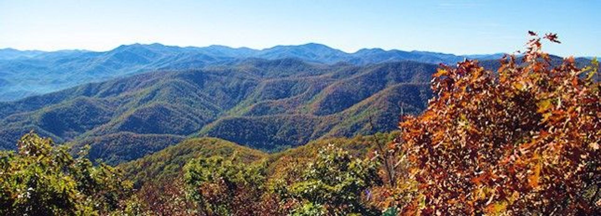
The Bartram Trail follows the path that the famous botanist, William Bartram, took in the 1700s. It traverses the path through Georgia and North Carolina for 78 miles and provides some great opportunities for backpacking. One section includes a road/trail route or a canoe route. Part of the trail is located on private lands and public roads.


Bartram Trail
Point of Interest
0 Reviews
Additional Information
Activities
Camping
Dog Walking
Fishing
Walking
Hiking
Trail Running
National Recreation Trail Details
Length: 78.4 Miles
Loop Trail: No
Primary Trail Type: Backcountry
Additional Trail Types: -
Agency: USDA Forest Service
Entry Fee: -
Fee Notes: -
Parking Fee: -
Permit Fee: -
Trail Use Notes:
Bikes are only permitted on public roads and on a 1.2 mile section in the Nantahala Gorge.
Seasonal Use Notes:
None
Location: The trail starts at the NC/GA border near Scaly Mountain and ends at Cheoah Bald near Robbinsville
County: Macon, Graham
State: NC
Townships: -
Driving Directions:
Spans the length of Tuskegee NF, NE of Tuskegee, N of US 80
Average Grade: 8%
Maximum Grade: 15%
Elevation High: 5342 Feet
Elevation Low: 1900 Feet
Elevation Gain: -
Average Width: 48 Inches
Minimum Width: -
Primary Surface: Soil
Additional Surfaces: Soil, compacted
Year Designated: 1985
Stewardships
- Owned byAmerican Trails
- In Partnership WithAmerican Trails