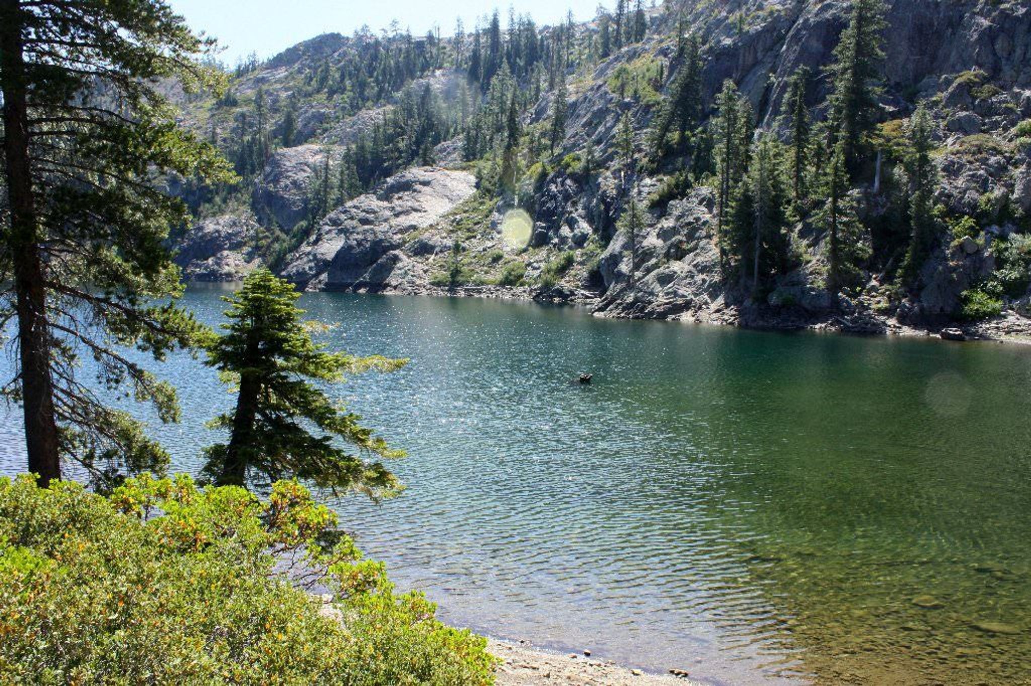
This trail provides spectacular views of the Red Butte and surrounding mountains. Southern exposure near the ridge top, good views, rough country, lots of rock and brush.


Boundary Trail - Kangaroo Segment
Point of Interest
Additional Information
Activities
National Recreation Trail Details
Length: 7.9 Miles
Loop Trail: No
Primary Trail Type: Backcountry
Additional Trail Types: -
Agency: USDA Forest Service
Entry Fee: -
Fee Notes: -
Parking Fee: -
Permit Fee: -
Trail Use Notes:
None
Seasonal Use Notes:
Covered in snow during winter season
Location: Backcountry/Wilderness
County: Siskiyou
State: CA
Townships: -
Driving Directions:
Access from Hwy 96-12 miles North from Seiad Valley on road 48N20 to Cook and Green Trailhead, the 5.5 miles west on PCT.
Average Grade: 7%
Maximum Grade: 15%
Elevation High: 5200 Feet
Elevation Low: 4000 Feet
Elevation Gain: -
Average Width: 24 Inches
Minimum Width: -
Primary Surface: Soil
Additional Surfaces: Soil
Year Designated: 1979