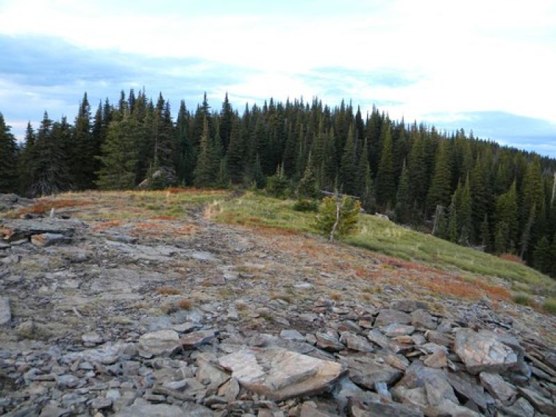
Chilco Trail #14 provides access to two of the highest summits on the Fernan Ranger District. There is no potable water, several good overnight camp sites at the top in the saddle between North and South Chilco Mountains. Great view of the Purcell Trench, Coeur d' Alene, Cabinet and Selkirk Mountain Ranges.
Chilco Mountain Trail
Point of Interest
0 Reviews
Claim
Share
Favorite
Social
Additional Information
Activities
Biking
Walking
Hiking
Trail Running
National Recreation Trail Details
Length: 6.4 Miles
Loop Trail: No
Primary Trail Type: Backcountry
Additional Trail Types: -
Agency: USDA Forest Service
Entry Fee: -
Fee Notes: -
Parking Fee: -
Permit Fee: -
Trail Use Notes:
None
Seasonal Use Notes:
None
Location: CDA National Forest, Fernan RD, approx.. 30 miles from Coeur d'Alene.
County: Bonner, Kootenai
State: ID
Townships: -
Driving Directions:
From Coeur d'Alene, drive north on US 95 approximately 15 miles to Bunco Road (in front of Silverwood Theme Park), turn right onto Bunco Road. This road turns left (continues straight as Nunn Road, take the left), then curves right. Continue on Forest Road 209 (dirt, good quality but some washboarding) for 6.8 miles. Don't turn off of this road onto the many dead-end logging roads. The trail begins at the signed junction between Forest Road #332 and Forest Road #385. Parking is on the left.
Average Grade: 20%
Maximum Grade: 35%
Elevation High: 5365 Feet
Elevation Low: 4320 Feet
Elevation Gain: -
Average Width: 30 Inches
Minimum Width: -
Primary Surface: Soil, compacted
Additional Surfaces: -
Year Designated: 1982