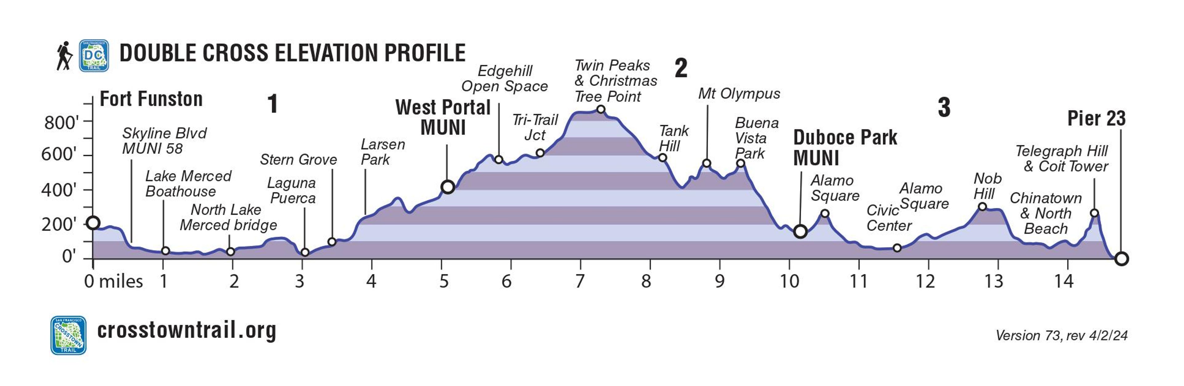
The Double Cross Trail crosses San Francisco from southwest to northeast, through residential neighborhoods and busy Chinatown and North Beach. Important natural areas include Fort Funston, Lake Merced, Stern Grove, Twin Peaks, and Buena Vista Park.
Additional Information
Allowed Access
Bicycles
Horses
Pedestrians
Activities
Biking
Birdwatching
Dog Walking
Hiking
Trail Running
Section 1: Fort Funston, Merced and Pine Lakes, Stern Grove
From bluffs at San Francisco’s southwest corner at Fort Funston, watch for swooping hang gliders, concrete bunkers that were once part of the city’s coastal defense system, and happy dogs at this popular walking spot. The trail continues past Lake Merced and Pine Lake, two of only three natural freshwater lakes in the city (Mountain Lake in the Presidio is the other), a vital part of the Pacific Flyway providing habitat for migrating birds. Along the wooded natural amphitheater of Stern Grove, look for Victorian era roadhouse the Trocadero Clubhouse where bullet holes still mark the exterior, hinting at the former inn’s rowdy past.
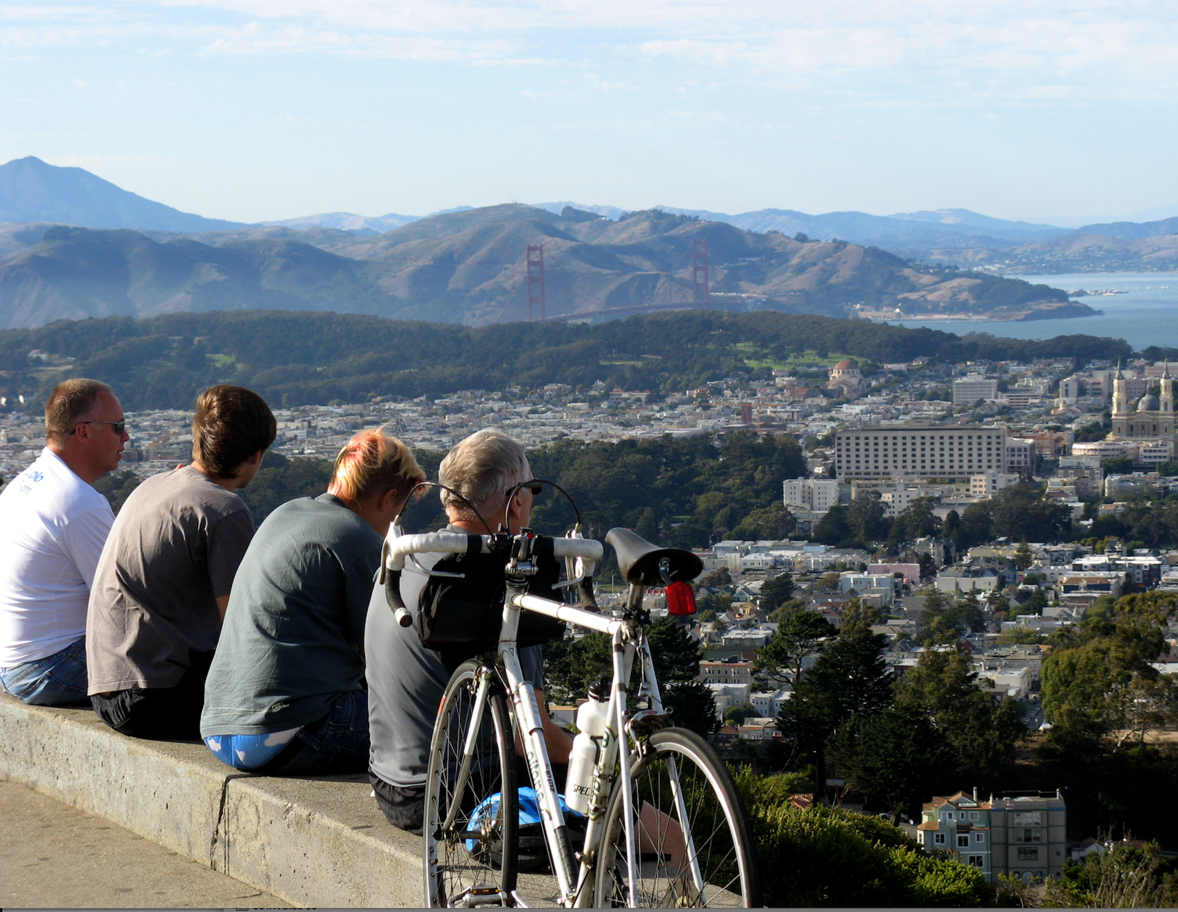
Section 2: Edgehill Mountain, Twin Peaks, Mt Olympus
Double Cross Section 2 starts in West Portal, named for the transit tunnel aperture that opened in 1918, spurring development of this and adjacent residential park neighborhoods. Trek along paths unknown to most outsiders, past a long ago rock quarry of radiolarian chert containing marine plankton 100-200 million years old, and up to some of the best vista points in town at Twin Peaks, Tank Hill, and Buena Vista Park. Finish this trail section with a stop at the Harvey Milk Center for the Arts, named for the famed former city supervisor and civil rights leader.
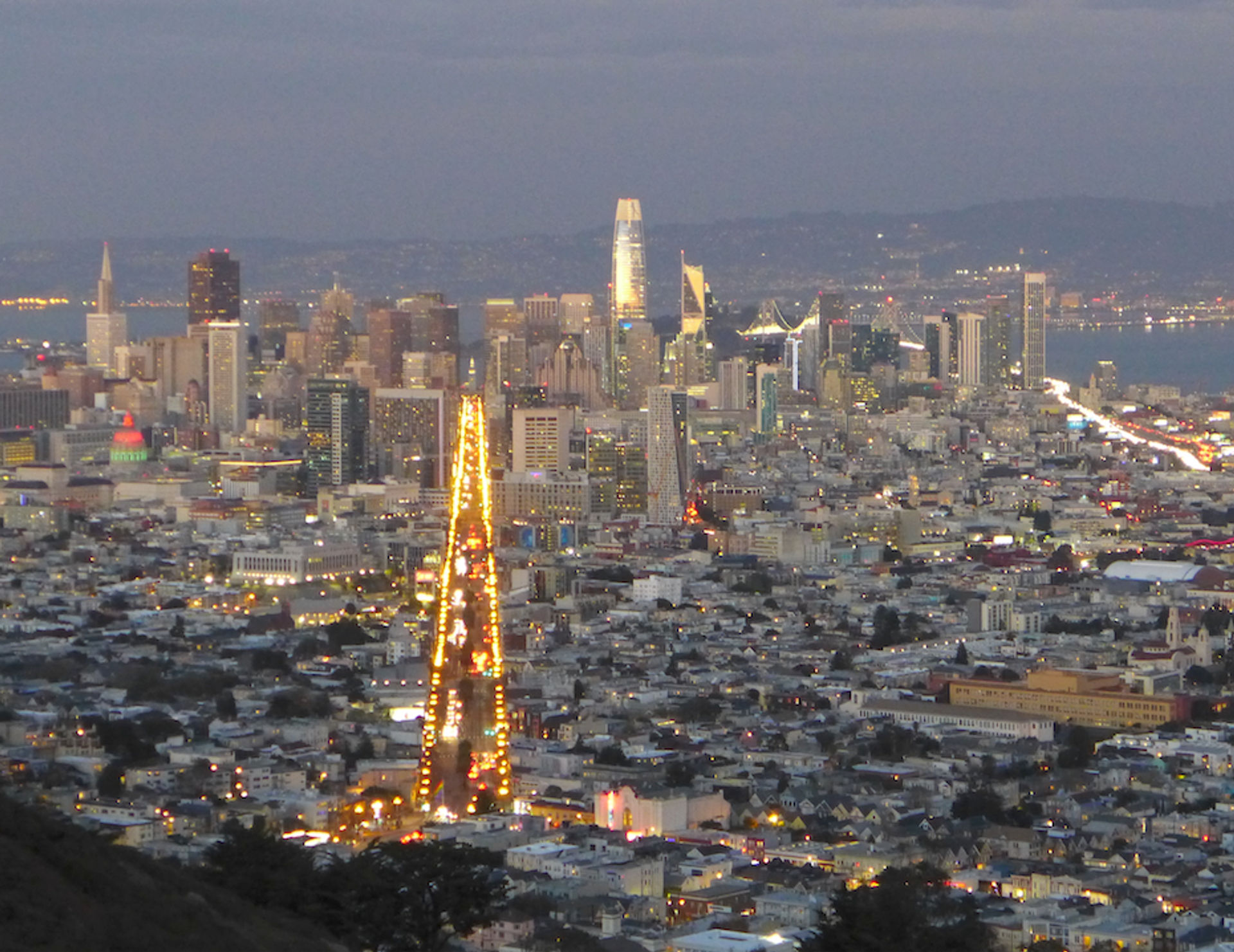
Section 3: Postcard Row, Civic Center, City Icons
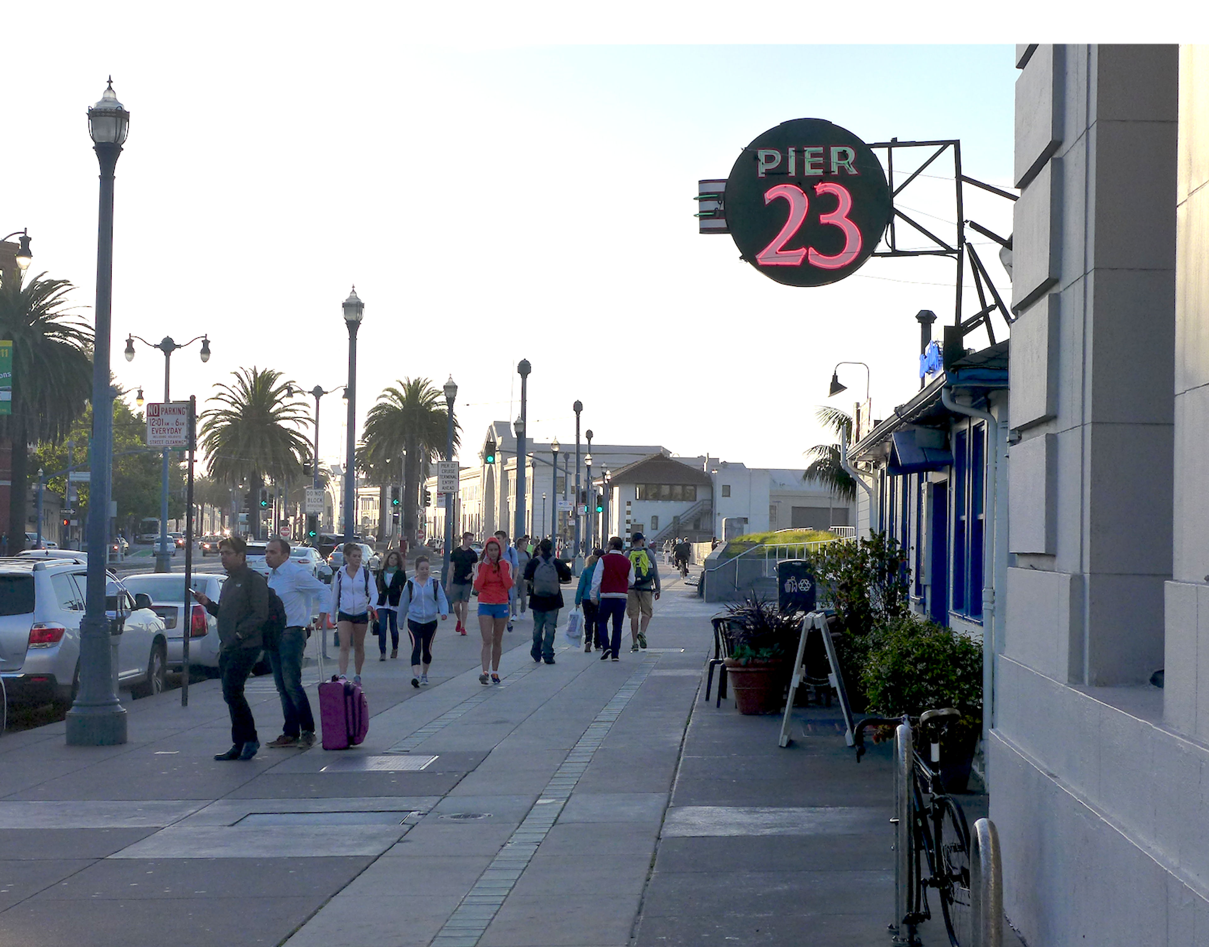
Section 3 offers fresh views of San Francisco’s most iconic sights. Take in the Seven Sisters of Postcard Row at Alamo Square, City Hall, the California Street cable car line and Nob Hill, Chinatown and the Golden Gate Fortune Cookie Factory, the Transamerica Pyramid, North Beach cafes and hotspots, Lillie Coit’s Tower, and the steps and views from Telegraph Hill (maybe catching sight of the wild local parrots), before finishing along the waterfront at Pier 23.