Add your organization to OuterSpatial. Get started now for free.
image.png

Mauna Loa Observatory Access Road

Trail in Mauna Loa Forest Reserve

0 Reviews

Report

Report incorrect or missing information.

Mauna Loa Observatory Road partially closed due to recent lava flows.

The Mauna Loa Observatory Road is partially obstructed by the 2022 Mauna Loa Eruption flows at the 8,895-ft. elevation. Access to the end of the road, NOAA weather observatory, and trails to the summit of Mauna Loa are completely impassible by foot, vehicle, or any other means. 

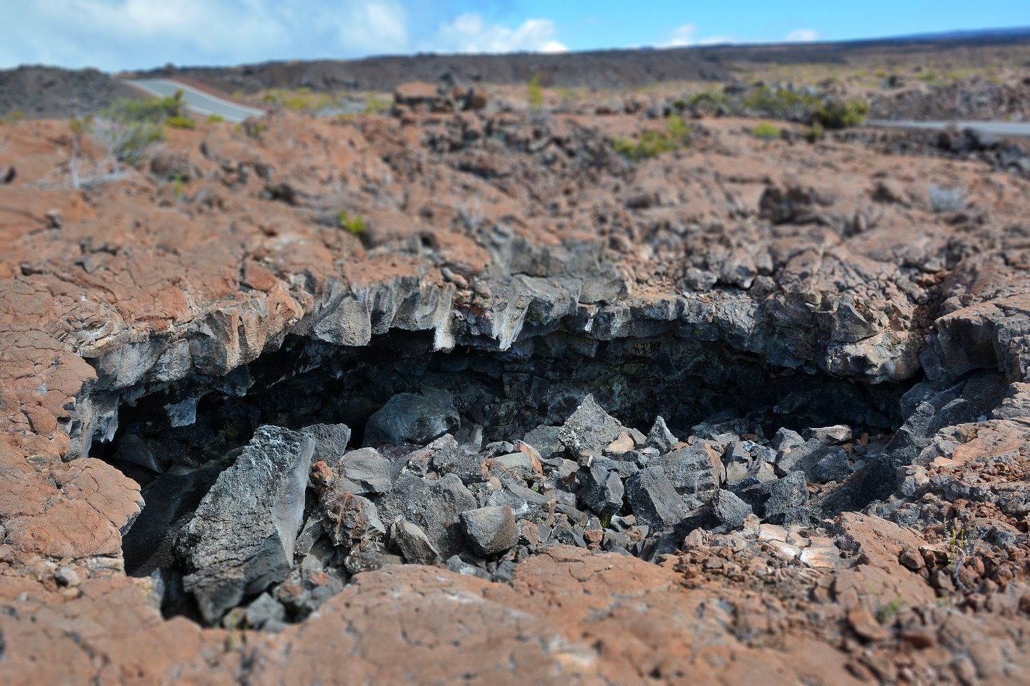
**Please stay off the 2022 lava flow to protect yourself from hazardous conditions. These include, but are not limited to, hot spots with high temperatures, unstable footing, and sharp lava rocks.** 

The thick lava flow will remain extremely hot for several months or even years before grading work can be done safely to reopen the road completely.

Additional Information

Allowed Access
Bicycles
Dogs
Pedestrians
Activities
Hiking
Road Biking
Rules & Regulations
Carry Out Trash
Dogs On Leash
Pack Out Dog Waste
Stay On Trail
Prohibited

  • No Littering
  • No Plant Sand Dirt Rock Removal
  • No Rock Climbing
  • No Skateboards

Mountain Bikers

Always yield to hikers. Be cautious on blind turns. This road is not an easy mountain bike trail due to the extreme elevation.

Simple Trail Tips
  1. Stay on the trail 
  2. Check the weather 
  3. Watch the time 
  4. Avoid undue risk 
  5. Read all posted signs 
  6. Respect other trail users 
  7. Pack out at least what you pack in
Special Conditions

Do not use any trail or access road that is not delineated by name and color and that may also be displayed on these maps. The marked features are managed for public recreational use. Other trails or roads that branch off from the public features may be on private property, and are not managed for any public recreational use. Access is subject to adjacent landowner approval, and if used without authorization, you will be trespassing and possibly putting yourself at risk. Downloadable resources are provided below.

Activities

  • Bicycle
  • 4-wheel drive
  • Pedestrian
  • Sightseeing
  • Tours

Amenities

  • Parking

Features

  • Nature Study
  • Open Views
  • Scenic Viewpoint
  • Sensitive Area

Hazards

  • Blind Corner
  • High Elevation
  • Sun Exposure
  • Vehicle Traffic

Directions

This road begins at the 27.7 mile point of Daniel K. Inouye Highway (Hwy 200), just Hilo side of Puʻu Huluhulu Native Tree Sanctuary.