If you are driving, there are two ways to reach this trail: 1. From the Waianae side of O‘ahu: Drive towards Ka‘ena Point on Farrington Highway until you reach the Kaena State Park section of the Mauka Kaena State Park or Keawaula. Turn right and check in with your permit at the security guard station (see Documents section below for hiking permit application). Travel on the Kuoakala Access Road until you get to a paved road. Turn left until you get to the forest reserve gate. Prior to the gate, there is a road that turns right and is adjacent to the Peacock Flats camping area. This road also leads to the Mokuleia Trailhead. This following route requires a four-wheel drive and a permit to gain access through the Ka‘ena Point Tracking Station. 2. From Mokuleia: You may also access the Mokuleia Trail on foot or with a mountain bike via the Mokuleia Access Road. Mokuleia Access Road is closed to private vehicles. Head towards Ewa on H-1 and take the H-2 exit, heading towards Wahiawa and Haleiwa. As the freeway ends at Schofield Barracks, continue on Route 99 going north, bypassing Wahiawa. When the road forks, continue on the left fork towards Waialua (which is still Wilikina Drive, but now becomes Route 803). At the flashing yellow light, continue straight on Farrington Highway (Route 930). Continue on Farrington Highway, through the rotary, and through Mokuleia.
Descriptions for route, history, plants and birds were provided by
Stuart Ball, author of The Hikers Guide to Oahu and other hiking books.
At
the end of the Mokule`ia Forest Reserve Access Road, reach a signed
junction at the forest reserve boundary. Turn left onto the Mokule`ia
Trail, a dirt road leading through the campground at Peacock Flats. (The
paved road continues straight to a junction with the Mokule`ia and
Kuaokala Firebreak Road.) Pass the Earl Pan campground under stately
Cook pines. Each campground has a pit toilet, but no water. Ascend
gradually through a mixed introduced forest of Cook pines, eucalyptus,
silk oak, and Christmas berry. On the left pass a small water catchment
tank for wildlife. The road narrows to a trail at the boundary of Pahole
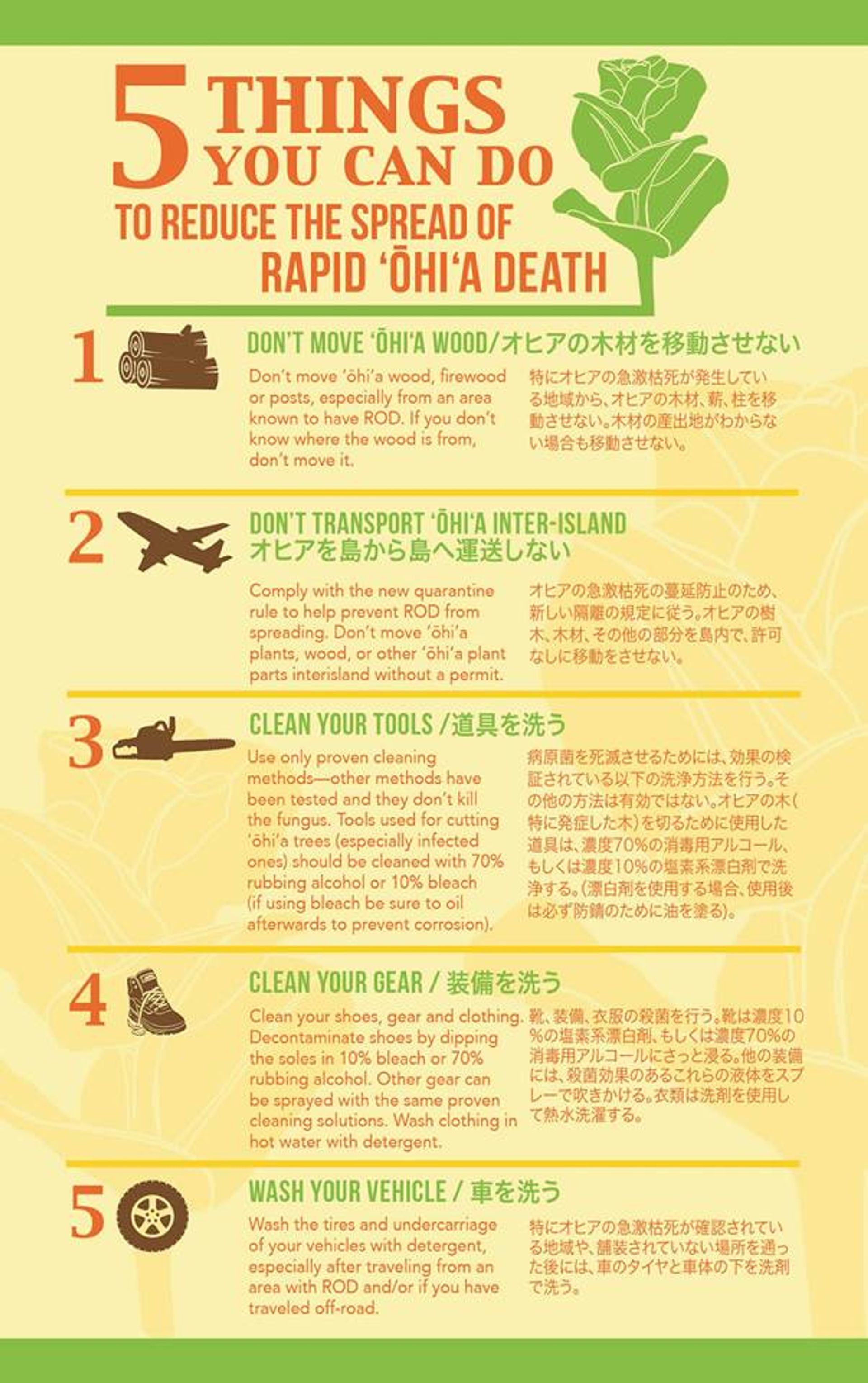
Natural Area Reserve. Clean your boots of weed seeds with the brushes
provided. Ascend steadily under arching Christmas berry. Go through a
gate in a fence erected to keep feral pigs out of a section of the
reserve. The fence line periodically parallels the trail on the right.
By a bench reach an overlook of the north shore and flat Ka`ala, the
highest peak on O`ahu. Reach a signed junction by a dilapidated shelter.
Continue straight on the wide Mokule`ia Trail. (To the right a side
trail leads to the Wai`anae summit. Turn left along a fence line there
and climb briefly to an overlook of Makua Valley.) Descend gradually
through native forest on two switchbacks. Cross a gulch with an
intermittent stream and then traverse a level section. Cross another
rocky gulch and begin contouring along the flank of the Wai`anae summit
ridge. Wind through a flat area with abandoned citrus trees. Descend
gradually through a eucalyptus forest. The trail initially follows the
right side of the ridge and then switches over to the left. Reach a
wooden gate, which marks the reserve boundary and the end of the
Mokule`ia Trail. Below is private pastureland closed to the public.

